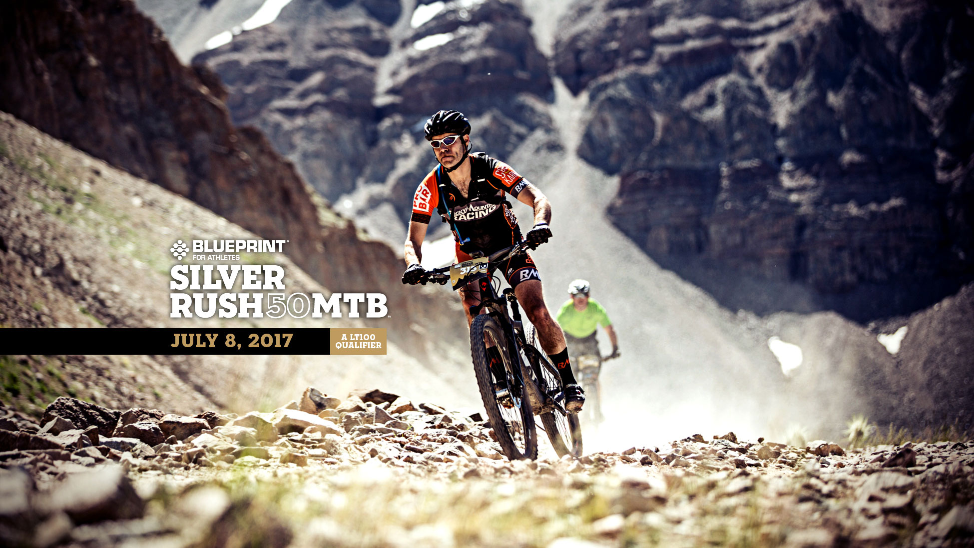
2017 Blueprint for Athletes Silver Rush 50 MTB Athlete Guide & Spectator Information
The Leadville Race Series proudly presents the 2017 Blueprint for Athletes Silver Rush 50 MTB Athlete Guide!
VIEW THE 2017 ATHLETE GUIDE
SPECTATOR INFORMATION
ATHLETE TRACKING
Live athlete tracking of the Silver Rush 50 MTB will be available on Athlinks.com at the link below.
https://www.athlinks.com/Master/204348/Event/618938/Results
Please note there are several points on the course without any connectivity and updates may be delayed regardless of which tracking method you are using.
DIRECTIONS TO THE START / FINISH – DUTCH HENRI HILL
The Silver Rush 50 MTB course starts and finishes at the base of Dutch Henri Hill, located just below Colorado Mountain College on Highway 24 South.
From the intersection of Harrison and 6th (stop light in the middle of town):
- Go south for 1.2 miles on Harrison/Hwy 24
- Pass USFS building on right, CMC sign on left
- Arrive at start /finish
PARKING AT THE START / FINISH
Parking is located at the Colorado Mountain College. NO Parking is allowed on either side of Highway 24 or Lake County 41. If you park along these roads, you will be ticketed and towed. There are parking attendants on staff for the Silver Rush 50 and there is no charge to park. Overflow parking is located at the Community Park/Rodeo Grounds parking areas located just west of the Intersection of McWethy and West 6th Street. Please use the crossing located on the Mineral Belt Trail to cross Highway 24. Colorado State Patrol will be monitoring pedestrian travel for safety.
SPECTATOR VIEWING
The best place to view your athlete during the Race is at one of the Aid Stations. There are two aid stations along the course: Printer Boy (mile 14.5 & 35.3) and Stumptown (mile 25).
Directions to Silver Rush Aid Stations
All directions start from the Start/Finish Line.
Printer Boy (39°13’37.74”N, 106°15’2.69”W)
- Take Hwy 24 north back toward Downtown Leadville.
- Pass the curve in the highway, right before hitting the historic Downtown district, make the first right hand turn onto Monroe Street.
- Head up to the top of the street and turn right onto Toledo which turns into County Road 2, otherwise known as California Gulch.
- Continue up California Gulch for 3.5 miles and you will see the aid station. BE CAUTIOUS as the California Gulch road does intersect with the race course approximately 2.5 miles from the Harrison Ave. turn off. RACERS HAVE THE RIGHT OF WAY!
Stumptown (39°15’8.93”N, 106°13’59.82”W)
- Take Hwy 24 north back toward Downtown Leadville.
- Turn right at 7th Street, one block past the stoplight.
- Head up 7th Street which will bring you up through the Mining District.
- Veer right off onto County Road 38, 2.7 miles from the Harrison Ave. turn off. This is a VERY rough, dusty road. Please drive with caution.
- Drive another .6 miles to the Stumptown Aid Station.
SPECTATOR FOOD & BEVERAGE
Please note the post-race meal and beverages are only for registered athletes. Unfortunately, spectators will not be able to buy extra food or drink tickets. However, there are numerous fantastic restaurants in and around Leadville offering everything from hearty home cooking to gourmet dining. Click here for more information on Dining in Leadville.
Related Posts